Benazir Bhutto International Airport (ISB)
Informatie over airport - Benazir Bhutto International Airport, Pakistan
|
Steden in de buurt van Benazir Bhutto International Airport, Pakistan
| Stad, land | Afstand (km) |
| Rawalpindi | 3.6 km |
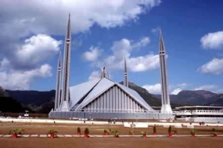
| Islamabad | 10.54 km |


![Margalla Tower is Falling down[2005 October]](https://photos.worldtravelserver.com/photo/159/thumb/36573087.jpg)