Reichenbach Air Base

Informatie over airport - Reichenbach Air Base, Zwitserland

Beschrijving Waarde
IATA
(International Air Transport Association-luchthavencode)
Geen IATA-code
Type Kleine luchthaven
Lokale luchthavencode -
GPS-luchthavencode LSGR
Lengtegraad 46.6136016845703
Latitude 7.67778015136719

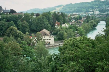
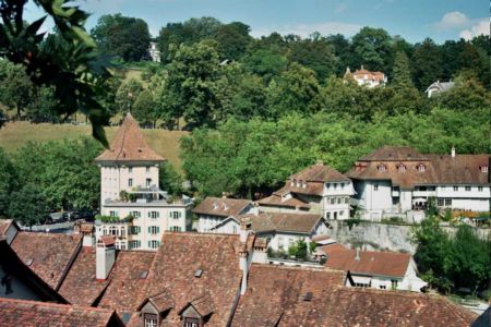
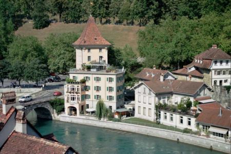
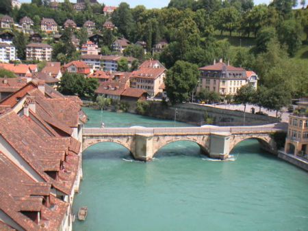
Steden in de buurt van Reichenbach Air Base, Zwitserland

Stad, land Afstand (km)
Bern 41.38 km
Luzern 67.85 km

Foto's in de buurt van Reichenbach Air Base, Zwitserland

The castle and town of Spiez at Lake Thun. View from top of the vineyard WINTER - village of Aeschiried above Lake Thun, near Restaurant "Chemihütte", view up to Aeschiallmend WINTER - Mt. Niesen (2'360 m), seen from the alp meadows above the village of Aeschiried (Lake Thun) Village of Faulensee at Lake Thun, Church from 1963. In the background the villages of Schwanden, Tschingel and Sigriswil. The horizon beyond the lake is 7-8 Km away. (me'11) Ascension from the clouds  [320°]
 
The village of Leissigen at Lake Thun (Mt. Niesen) Sunrise Blüemlisalp Switzerland Rainbow over Lake Thun, returning from a sailboat regatta. When morning conjures1 Frutigen
 
Church in Aeschi above Lake Thun Auf dem Thunersee zwischen Faulensee und Spiez im April/On The Lake Of Thun Between Faulensee And Spiez In April Switzerland Region of Lake Thun: church in the village of Reutigen. View east toward the Bernese Alps. Clouds over Lake Thun, evening view north-west to the village of Faulensee and to Thun (where it rains)
 
confidence SUIZA Beatus Hohlen The village of Merligen at Lake Thun, Church from 1937 la vue depuis le Niesen Interlaken, between Lake Thun (front) and Lake Brienz (background). View from 'Greberegg', 1'000 m above the water
 

Foto's van Reichenbach Air Base