Kenepuru Hospital Heliport
Informatie over airport - Kenepuru Hospital Heliport, Nieuw-Zeeland
|
Steden in de buurt van Kenepuru Hospital Heliport, Nieuw-Zeeland
| Stad, land | Afstand (km) |
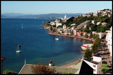
| Wellington | 16.43 km |
|
| Stad, land | Afstand (km) |
| Wellington | 16.43 km |