Afstand van Levanto tot Malabo
Afstand informatie van Levanto, Italië naar Malabo
Geografische afstand van Levanto tot Malabo 4506.49 kilometer
2798.23 mijlen
2433.05 zeemijl
Afstand van de weg van Levanto tot Malabo
Afstand op de kaart van Levanto, Italië naar Malabo
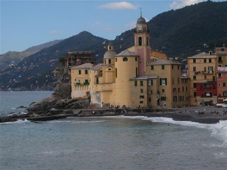
Dichtstbijzijnde afstanden van Levanto, Italië
| Stad | Afstand |
| Monterosso al Mare | 4.34 km |
| Manarola | 12.4 km |
| Riomaggiore | 12.91 km |
| La Spezia | 18.49 km |
| Carrara | 40.27 km |
| Massa | 44.88 km |
| Corniglia | 50.95 km |
| Genua | 59.19 km |
| Viareggio | 61.32 km |
| Lucca | 79.45 km |
| Pisa | 80.69 km |
| Livorno | 89.27 km |
| Parma | 90.29 km |
| Savona | 92.32 km |
| Piacenza | 97.82 km |
| Reggio Emilia | 99.95 km |
| Pistoia | 107.61 km |
| Cremona | 112.46 km |
| Alessandria | 114.63 km |
| Modena | 117.15 km |
| Pavia | 118.19 km |
| Prato | 123.61 km |
| Scandicci | 133.68 km |
| Asti | 137.94 km |
| Florence | 138.92 km |
| Vigevano | 140.93 km |
| Bologna | 142.46 km |
| Milaan | 147.81 km |
| San Remo | 152.1 km |
| Sesto San Giovanni | 155.14 km |
Plaats selecteren voor het berekenen van de afstand van Levanto, Italië
Selectievakje afstanden van Malabo
| Stad | Afstand |
| Douala | 111.4 km |
| Yaounde | 305.09 km |
| Libreville | 371.32 km |
| Sao Tome | 436.66 km |
| Abuja | 617.1 km |
| Lagos | 670.87 km |
| Porto-Novo | 750.7 km |
| Lome | 880.24 km |
| Accra | 1018.22 km |
| Bangui | 1087.83 km |