Mishmar Ayy Highway Strip H
Informatie over airport - Mishmar Ayy Highway Strip H, Israël
|
Steden in de buurt van Mishmar Ayy Highway Strip H, Israël
| Stad, land | Afstand (km) |
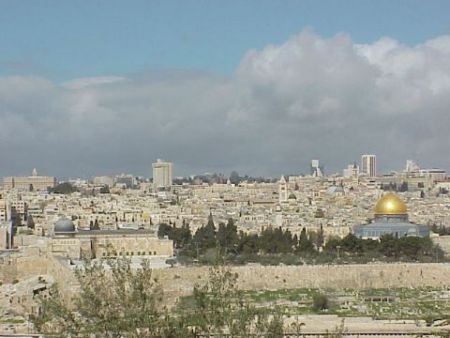
| Jeruzalem | 26.2 km |
| Ashkelon | 42.96 km |
| Amman | 94.2 km |