Afstand van Wicklow tot Gulbene
Afstand informatie van Wicklow, Ierland naar Gulbene
Geografische afstand van Wicklow tot Gulbene 2117.87 kilometer
1314.66 mijlen
1143.09 zeemijl
Afstand van de weg van Wicklow tot Gulbene
Afstand op de kaart van Wicklow, Ierland naar Gulbene
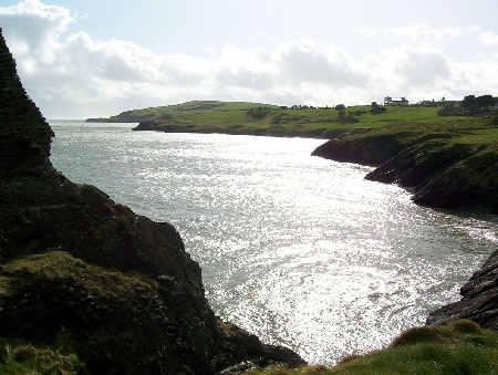
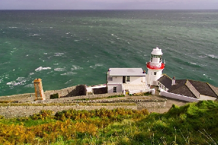
Dichtstbijzijnde afstanden van Wicklow, Ierland
| Stad | Afstand |
| Dublin | 43.32 km |
| Kenmare, County Kerry. | 108 km |
| Belfast | 180.31 km |
| Galway | 203.93 km |
| Cork | 204.97 km |
| Liverpool | 209.5 km |
| MAESTEG - Wales | 222.44 km |
| Porthcawl - Wales | 230.59 km |
| Bridgend | 234.28 km |
| Bolton | 249.34 km |
| Killarney | 255.81 km |
| Manchester | 259.13 km |
| Keswick, Cumbria | 262.75 km |
| Weston-super-Mare | 276.82 km |
| Sandwell | 279.78 km |
| Birmingham | 284.75 km |
| Bristol | 289.99 km |
| Cheltenham | 294.33 km |
| Chipping Sodbury | 295.2 km |
| Nailsworth | 296.24 km |
| Keynsham | 297.7 km |
| Bradford | 298.53 km |
| Derby | 306.13 km |
| Bad | 307.76 km |
| Sheffield | 308.51 km |
| Leeds | 311.49 km |
| Coventry | 311.93 km |
| Plymouth | 316.89 km |
| Nottingham | 327.24 km |
| Bardon Mill, Hexham | 328.78 km |