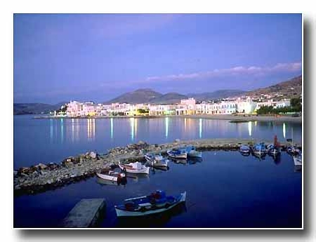
Afstand van Paros tot Pacific Harbour
Afstand informatie van Paros, Griekenland naar Pacific Harbour
Geografische afstand van Paros tot Pacific Harbour 16650.4 kilometer
10339.65 mijlen
8990.28 zeemijl
Afstand van de weg van Paros tot Pacific Harbour
Afstand op de kaart van Paros, Griekenland naar Pacific Harbour
Dichtstbijzijnde afstanden van Paros, Griekenland
| Stad | Afstand |
| Naxos (Chora) | 20.09 km |
| Santorini | 78.83 km |
| Andros (Andro) | 85.93 km |
| Athene | 161.11 km |
| Aegina (eiland Egina) | 169.04 km |
| Kos | 189.76 km |
| Monemvasia | 192.21 km |
| Urla | 198 km |
| Bodrum | 202.09 km |
| Chania | 202.1 km |
| Kusadasi | 204.99 km |
| Argos | 223.67 km |
| Izmir | 230.81 km |
| Milas | 234.31 km |
| Ierapetra | 236.45 km |
| Sparta | 241.62 km |
| Aliaga | 248.53 km |
| Lesvos | 250.3 km |
| Tripoli | 250.61 km |
| Aydin | 252.17 km |
| Manisa | 263.04 km |
| Skiathos | 273.62 km |
| Turgutlu | 274.15 km |
| Marmaris | 277.68 km |
| Odemis | 279.08 km |
| Delphi | 280.95 km |
| Rhodes | 282.78 km |
| Nazilli | 294.87 km |
| Salihli | 305.66 km |
| Olympia | 318 km |
Plaats selecteren voor het berekenen van de afstand van Paros, Griekenland
Selectievakje afstanden van Pacific Harbour
| Stad | Afstand |
| Suva | 39.27 km |
| Nadi | 85.18 km |
| Kadavu | 91.15 km |
| Savusavu | 210.5 km |
| Nuku Alofa ` | 773.63 km |
| Port-Vila | 1030.67 km |
| Funafuti | 1087.73 km |
| Apia | 1190.83 km |
| Mata-Utu (op Ile Uvea) | 1236.16 km |
| Alofi | 1272.53 km |