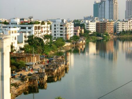
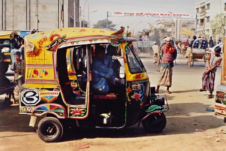
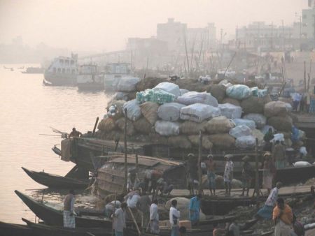
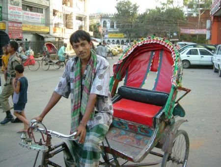
Dhaka / Hazrat Shahjalal International Airport (DAC)

Informatie over airport - Dhaka / Hazrat Shahjalal International Airport, Bangladesh

Beschrijving Waarde
IATA
(International Air Transport Association-luchthavencode)
DAC
Type Middellange luchthaven
Lokale luchthavencode -
GPS-luchthavencode VGHS
Lengtegraad 23.843347
Latitude 90.397783

Steden in de buurt van Dhaka / Hazrat Shahjalal International Airport, Bangladesh

Stad, land Afstand (km)
Dhaka 13.77 km

Foto's in de buurt van Dhaka / Hazrat Shahjalal International Airport, Bangladesh

1,2,3 Tongi Overpass 10-05-2010 Bodhinana Meditation Centre Thick bamboo forest Turag or Balu river at Purbachal. During rainy season.
 
Series of Pipes Nomadic Family in Boats in Bangladesh Land for AHS, presenty (14/04/10) a wetland and ricefield Sunset at Ashulia Dragon @ Entrance
 
Site office at AHS Jolshiri Abashon, Naora, Rupganj Nagda Bridge, Dhaka By-pass Road Heavy traffic without discipline at Mirer Bazar Crossroads, Dhaka By-pass Rd, Kamarpara Bridge,Tongi Turag River
 
Mazukhan Rail Bridge Bangla CAT Warehouse, Narsinghapur, Ashulia Mosque at Gazipura in Gazipur by Mizan BD Panorama: fishing in the mud viewed from Tongi-Asulia Rd Zirabo Bus Stop
 

Foto's van Dhaka / Hazrat Shahjalal International Airport