Queen Beatrix International Airport (AUA)
Informatie over airport - Queen Beatrix International Airport, Aruba
|
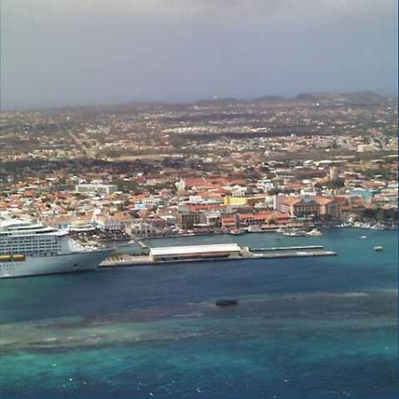
Steden in de buurt van Queen Beatrix International Airport, Aruba
| Stad, land | Afstand (km) |
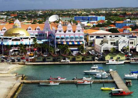
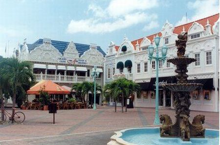
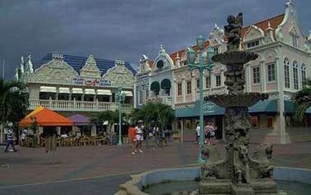
| Oranjestad | 2.71 km |