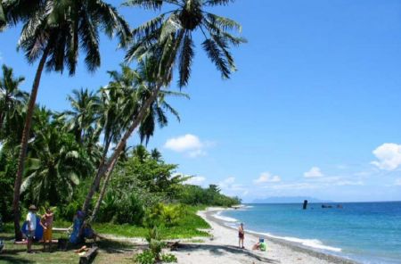
Babanakira Airport (MBU)

Informatie over airport - Babanakira Airport, Salomonseilanden

Beschrijving Waarde
IATA
(International Air Transport Association-luchthavencode)
MBU
Type Kleine luchthaven
Lokale luchthavencode -
GPS-luchthavencode AGGI
Lengtegraad -9.7475004196167
Latitude 159.839004516602

Steden in de buurt van Babanakira Airport, Salomonseilanden

Stad, land Afstand (km)
Honiara 36.87 km

Foto's in de buurt van Babanakira Airport, Salomonseilanden

Looking north up the Tina River valley Komate market weathercoast Guadalcanal Kologhona school - landing ground Itina River flowing south to weathercoast Guadalcanal mountain - central Guadalcanal range
 
playing games looking west central Guadalcanal Itina River flowing south to weathercoast Guadalcanal looking east from Mbiti, Guadalcanal weathercoast Mbambanakira Airstrip - overgrown and closed
 
Mbiti Telekom mobile tower Cape Hunter track north of Mbambanakira Airstrip looking south west central Guadalcanal looking west to Cape Hunter
 
looking south down Itina River flood plain looking west central Guadalcanal Itina River stone flood plain looking south Weather coast looking west to Cape hunter, weather coast guadalcanal
 

Foto's van Babanakira Airport