Megiddo Airport
Informatie over airport - Megiddo Airport, Israël
|
Steden in de buurt van Megiddo Airport, Israël
| Stad, land | Afstand (km) |
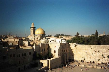
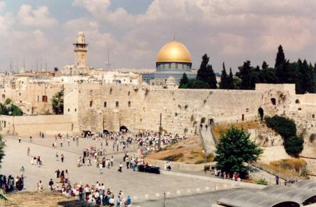
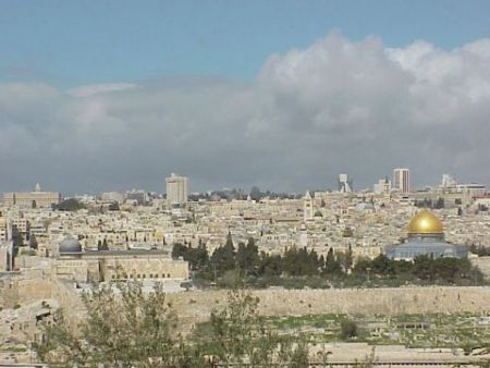
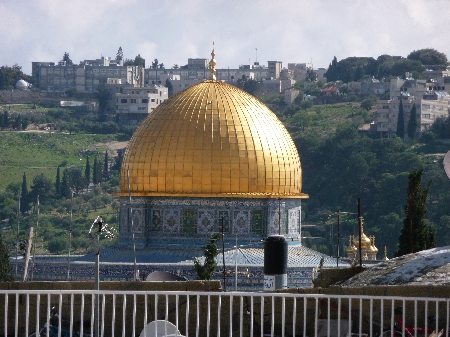
| Jeruzalem | 90.31 km |
| Amman | 98.18 km |
|
| Stad, land | Afstand (km) |
| Jeruzalem | 90.31 km |
| Amman | 98.18 km |