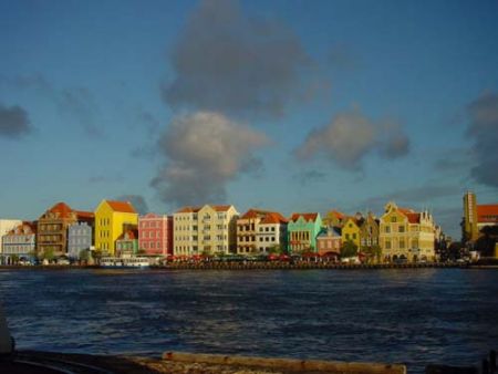
Afstand van Willemstad tot Gorzow Wielkopolski
Afstand informatie van Willemstad, Nederlandse Antillen naar Gorzow Wielkopolski
Geografische afstand van Willemstad tot Gorzow Wielkopolski 8550.92 kilometer
5309.55 mijlen
4616.63 zeemijl
Afstand van de weg van Willemstad tot Gorzow Wielkopolski
Afstand op de kaart van Willemstad, Nederlandse Antillen naar Gorzow Wielkopolski
Dichtstbijzijnde afstanden van Willemstad, Nederlandse Antillen
| Stad | Afstand |
| Coro | 113.33 km |
| Oranjestad | 127.95 km |
| Caracas | 286.38 km |
| Maracaibo | 337.39 km |
| Barranquilla | 652.82 km |
| Santo Domingo | 716.82 km |
| Cartagena | 741.08 km |
| San Juan | 768.99 km |
| Saint George `s | 781.3 km |
| Port-au-Prince | 803.12 km |
| Charlotte Amalie | 815.41 km |
| Cruz Bay | 822.11 km |
| Port-of-Spain | 827.28 km |
| Kingstown | 844.54 km |
| San Felipe de Puerto Plata | 874.45 km |
| Basseterre | 883.01 km |
| Castries | 884.82 km |
| Roseau | 889.45 km |
| Basse-Terre | 889.55 km |
| Plymouth (verlaten) | 892.07 km |
| Gros Islet | 892.39 km |
| Bouillante | 892.61 km |
| Fort-de-France | 893.88 km |
| Rosalie | 904.58 km |
| Saint-Martin | 918.67 km |
| The Valley | 926.47 km |
| Saint John `s | 944.34 km |
| Medellin | 977.96 km |
| Bogota | 1005.96 km |
| Bridgetown | 1018.57 km |