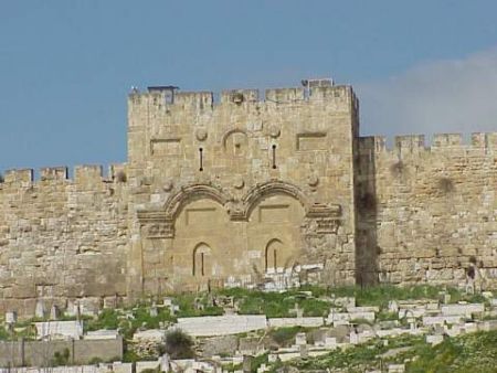
Afstand van Jeruzalem tot Kenmare, County Kerry.
Afstand informatie van Jeruzalem, Israël naar Kenmare, County Kerry.
Geografische afstand van Jeruzalem tot Kenmare, County Kerry. 4086.52 kilometer
2537.41 mijlen
2206.26 zeemijl
Afstand van de weg van Jeruzalem tot Kenmare, County Kerry.
Afstand op de kaart van Jeruzalem, Israël naar Kenmare, County Kerry.
Dichtstbijzijnde afstanden van Jeruzalem, Israël
| Stad | Afstand |
| Madaba | 57.83 km |
| Ashkelon | 61.36 km |
| Amman | 72.54 km |
| Damascus | 219.17 km |
| Beiroet | 235.36 km |
| Aqaba | 250.71 km |
| Protaras | 373.86 km |
| Limassol | 379.82 km |
| Nicosia | 412.78 km |
| Paphos | 415.98 km |
| Cairo | 421.93 km |
| Gizeh | 425.41 km |
| Hatay | 499.43 km |
| Alexandrië | 502.32 km |
| Hurghada | 523.16 km |
| Silifke | 523.85 km |
| Aleppo | 524.08 km |
| Anamur | 524.7 km |
| Iskenderun | 541.11 km |
| Mersin | 561.98 km |
| Adana | 579.87 km |
| Osmaniye | 596.07 km |
| Alanya | 605.8 km |
| PAYALLAR BB | 617.65 km |
| Gaziantep | 620.04 km |
| Okurcalar | 629.86 km |
| Manavgat | 654.76 km |
| Kant belediyesi | 656.03 km |
| SANLIURFA | 683.19 km |
| Nigde | 689.52 km |
Plaats selecteren voor het berekenen van de afstand van Jeruzalem, Israël
Selectievakje afstanden van Kenmare, County Kerry.
| Stad | Afstand |
| Cork | 102.56 km |
| Wicklow | 108 km |
| Dublin | 133.91 km |
| Killarney | 165.4 km |
| Galway | 173.76 km |
| MAESTEG - Wales | 246.83 km |
| Porthcawl - Wales | 248.89 km |
| Bridgend | 255.73 km |
| Belfast | 272.26 km |
| Plymouth | 292.49 km |