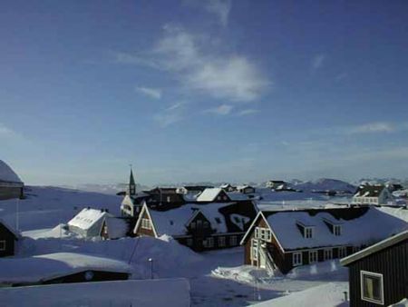
Afstand van Nuuk (Godthab) tot Kenmare, County Kerry.
Afstand informatie van Nuuk (Godthab), Groenland naar Kenmare, County Kerry.
Geografische afstand van Nuuk (Godthab) tot Kenmare, County Kerry. 2851.41 kilometer
1770.47 mijlen
1539.42 zeemijl
Afstand van de weg van Nuuk (Godthab) tot Kenmare, County Kerry.
Afstand op de kaart van Nuuk (Godthab), Groenland naar Kenmare, County Kerry.
Dichtstbijzijnde afstanden van Nuuk (Godthab), Groenland
| Stad | Afstand |
| Maniitsoq | 152.2 km |
| Reykjanes | 1404.5 km |
| Reykjavik | 1432.69 km |
| Stokkseyri | 1481.7 km |
| Husavik | 1778.58 km |
| St. John's | 1849.24 km |
| Saint-Pierre | 1949.38 km |
| Chicoutimi | 2101.23 km |
| Moncton | 2166.76 km |
| Hillsborough, New Brunswick | 2180.96 km |
| Fredericton | 2225.24 km |
| Klaksvik | 2225.8 km |
| Torshavn | 2227.04 km |
| Quebec, QC | 2269.57 km |
| Saint John | 2283.41 km |
| Halifax | 2296.63 km |
| Trois-Rivières | 2358.04 km |
| Drummondville | 2403.76 km |
| Sherbrooke | 2431.99 km |
| Beloeil | 2457.34 km |
| Granby | 2459.91 km |
| Saint-Jerome | 2463.88 km |
| Montreal, QC | 2474.86 km |
| Sutton, QC | 2485.6 km |
| Chateauguay | 2500.24 km |
| Stowe, VT | 2553.2 km |
| Ottawa, ON | 2557.7 km |
| Portland, MN | 2562.48 km |
| Kanata | 2576.22 km |
| North Bay | 2611.54 km |
Plaats selecteren voor het berekenen van de afstand van Nuuk (Godthab), Groenland
Selectievakje afstanden van Kenmare, County Kerry.
| Stad | Afstand |
| Cork | 102.56 km |
| Wicklow | 108 km |
| Dublin | 133.91 km |
| Killarney | 165.4 km |
| Galway | 173.76 km |
| MAESTEG - Wales | 246.83 km |
| Porthcawl - Wales | 248.89 km |
| Bridgend | 255.73 km |
| Belfast | 272.26 km |
| Plymouth | 292.49 km |