Afstand van Avarua tot Levanto
Afstand informatie van Avarua, Cook Islands naar Levanto
Geografische afstand van Avarua tot Levanto 17288.79 kilometer
10735.85 mijlen
9334.77 zeemijl
Afstand van de weg van Avarua tot Levanto
Afstand op de kaart van Avarua, Cook Islands naar Levanto
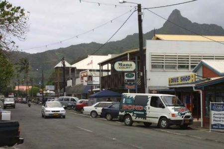
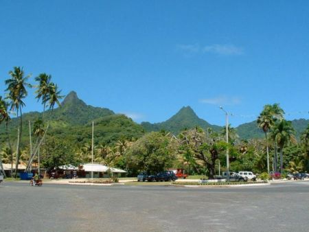
Dichtstbijzijnde afstanden van Avarua, Cook Islands
| Stad | Afstand |
| Alofi | 1082.19 km |
| Papeete | 1148.4 km |
| Pago Pago | 1391.11 km |
| Apia | 1512.99 km |
| Nuku Alofa ` | 1599.61 km |
| Fakaofo | 1799.42 km |
| Savusavu | 2249.12 km |
| Suva | 2305.39 km |
| Kadavu | 2317.91 km |
| Pacific Harbour | 2340.26 km |
| Nadi | 2417.45 km |
| Funafuti | 2660.82 km |
| Rotorua | 2968.07 km |
| Russell | 2980.89 km |
| Paihia | 2985.01 km |
| Kerikeri | 2993.24 km |
| Auckland | 3009.16 km |
| Hastings | 3018.68 km |
| Adamstown | 3057.98 km |
| Wanganui | 3164.24 km |
| New Plymouth | 3181.87 km |
| Wellington | 3267.51 km |
| Kingston | 3351.82 km |
| Port-Vila | 3360.07 km |
| Nelson | 3370.86 km |
| Noumea | 3483.99 km |
| Mata-Utu (op Ile Uvea) | 3490.27 km |
| Christchurch | 3555.61 km |
| Tarawa | 3877.07 km |
| Queenstown | 3910.2 km |
Plaats selecteren voor het berekenen van de afstand van Avarua, Cook Islands
Selectievakje afstanden van Levanto
| Stad | Afstand |
| Monterosso al Mare | 4.34 km |
| Manarola | 12.4 km |
| Riomaggiore | 12.91 km |
| La Spezia | 18.49 km |
| Carrara | 40.27 km |
| Massa | 44.88 km |
| Corniglia | 50.95 km |
| Genua | 59.19 km |
| Viareggio | 61.32 km |
| Lucca | 79.45 km |